Geographic Information System (GIS)
The Geographic Information System (GIS) is where the exploitation of water supply networks and sanitation is supported. It is the core to which corporate tools and systems that meet all aspects of the daily management.
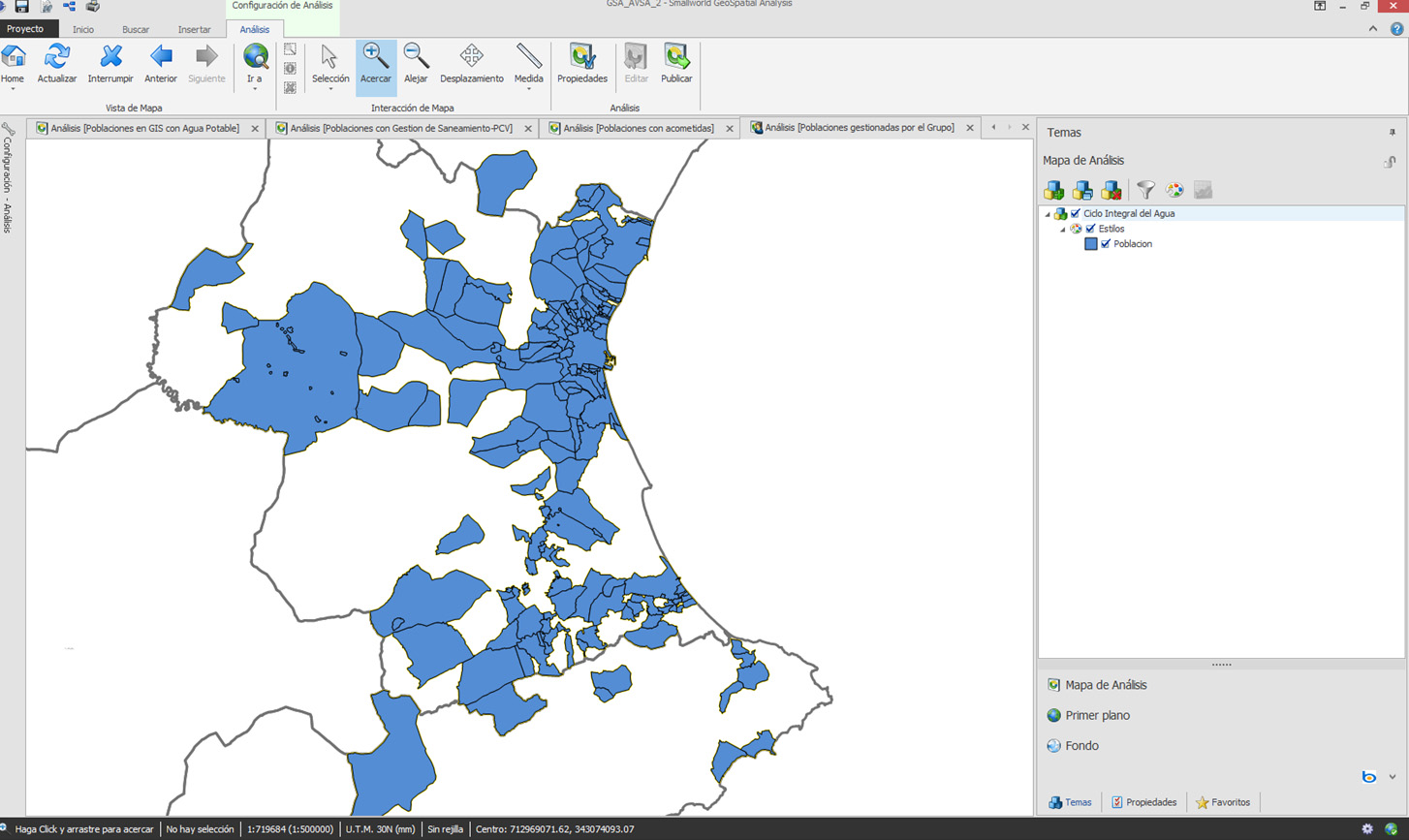
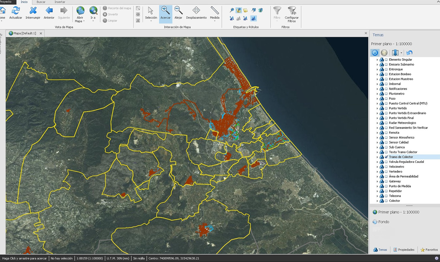
>p>The core of graphic and alphanumeric information of the Network Management System (SGR) is represented by the GIS, where the updating of information for water infrastructure is done, and the geographical location of the elements, their topology, and technical characteristics are linked.
Querying the system is effected by means of a standard browser. This facilitates access to information from anywhere on the internal network to our users and from Internet to our customers.
Among the representative functions of this module it is worth mentioning:
- Advanced queries of inventory of networks: network length, number of hydraulic elements by type, ratios, ...
- Generation of thematic maps, which offer graphical representation of the technical characteristics of infrastructures.
- Printing of maps through assisted templates that simplify the configuration process.
- Longitudinal profiles of networks and management of the pouring basins.
- Linking with documents, photographs and sketches, ...
- Incorporation of raster cartography and color and ortophotographs.
- GIS Mobility, real-time information check cellular or tablets.
- Locations of elements by integration with GPS systems.
- Connection with mathematical models (EPANET).
- Data export to other drawing formats.
The linkage between the connections represented in GIS and the Subscriber Management System, enables integration with other modules of the SGR, offering new possibilities in the management of networks.